The Map Is Lying to You
Pull up any flight tracking app and watch a long-haul route. New York to London. Los Angeles to Tokyo. The flight path curves. Sometimes dramatically. Your first instinct might be that the airline is adding distance to save fuel or avoid airspace. And while airspace avoidance is real, the main reason is something more fundamental: the Earth is round, and flat maps are a lie we’ve all agreed to live with.
This isn’t a conspiracy. It’s geometry. And once you understand it, you’ll never look at a world map the same way again.
Great Circle Routes: The Shortest Path on a Sphere
On a flat surface, the shortest distance between two points is a straight line. Everyone learns that in school. But on a sphere, the shortest path between two points follows what’s called a great circle, which is any circle whose center is the center of the Earth itself. The equator is a great circle. So is any line of longitude. Most other routes you’d draw on a globe? Not great circles.
Here’s the thing. When you project a sphere onto a flat map using the standard Mercator projection, great circle routes appear curved. But they’re not curved in reality. They’re the most direct path possible. A straight line on a Mercator map is actually the longer route in the real world.
A flight from Chicago to Beijing, for example, doesn’t head west across the Pacific as you might expect when staring at a flat map. It flies north over Alaska and across the Bering Strait region. That path looks bizarre on a typical map, but it’s genuinely shorter by hundreds of miles. The distance saved on that routing compared to a straight east-west path on a Mercator projection can be over 1,000 nautical miles. That’s significant when you’re burning tens of thousands of pounds of jet fuel.
So Why Don’t All Flights Follow Perfect Great Circles?
Honestly, most people assume planes always fly the mathematically optimal route, but that’s rarely the case in practice. A bunch of factors push pilots and dispatchers away from the theoretical ideal.
Jet streams are probably the biggest one. These high-altitude rivers of fast-moving air, typically found between 30,000 and 40,000 feet, can reach speeds of over 200 knots. Flying into one heading eastbound is a nightmare. Flying with one on a westbound crossing is a gift. Airlines spend serious time and money optimizing routes around jet streams, which means your flight path changes literally every single day depending on where those atmospheric rivers are sitting.
Restricted airspace is another factor. Military operations, conflict zones, and sovereign airspace that airlines can’t use all nudge routes around the theoretical optimum. After Russia’s airspace was closed to many Western carriers following 2022, European airlines flying to Asia had to reroute around the country, adding hours to some flights. That’s a real-world example of how politics shapes the routes you fly.
Weather avoidance plays a role too. Thunderstorms, turbulence forecasts, and volcanic ash clouds can all push a flight off its planned track. Dispatchers file a route and crews update it in real time based on what they actually encounter.
How Flight Computers Handle All of This
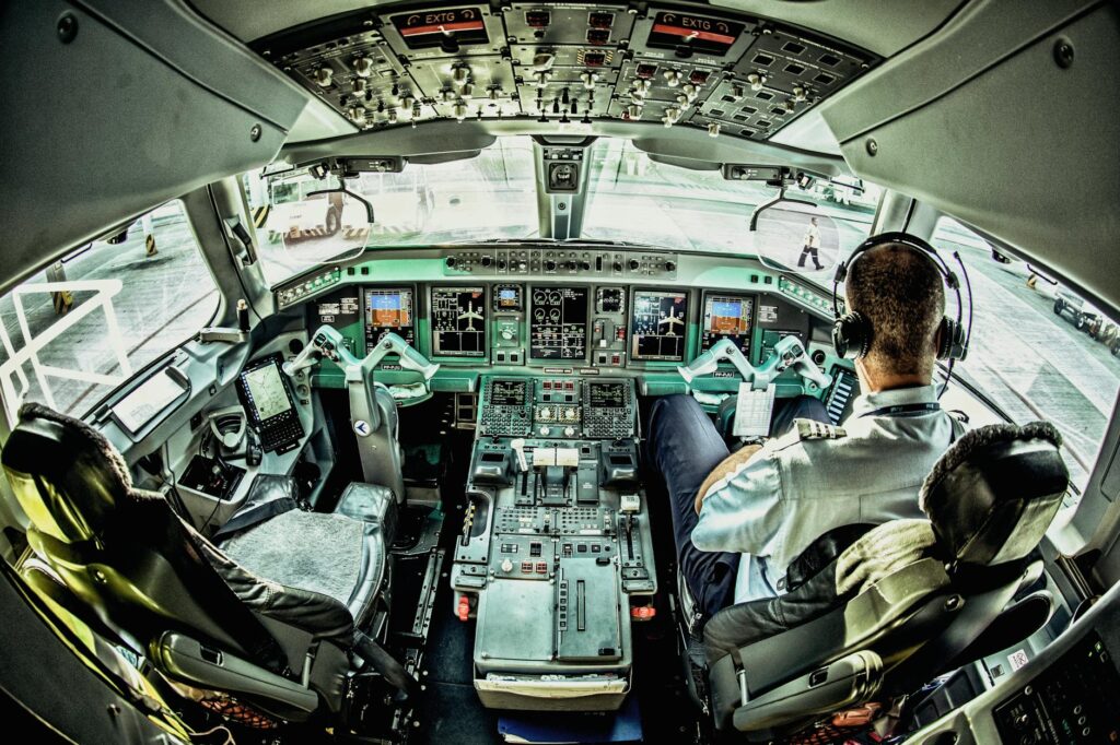
Modern Flight Management Systems, the FMS, can calculate great circle routes and factor in winds, fuel loads, altitude restrictions, and step climb profiles all at once. It’s genuinely impressive engineering. The system isn’t just finding the short route. It’s finding the most efficient route given everything happening in the atmosphere at that moment.
Airlines use sophisticated dispatch software on the ground to build the initial flight plan, often running hundreds of route simulations to find the one that burns the least fuel while meeting time constraints. In my view, this is one of the most underappreciated aspects of commercial aviation. There’s an enormous amount of invisible optimization happening before a single passenger boards the plane.
What This Means for General Aviation
For most GA pilots flying short cross-country trips, great circle calculations don’t matter much. The difference between a great circle route and a rhumb line (a constant compass heading) is negligible under a few hundred miles. But start planning longer overwater routes or international flights, and the geometry becomes very relevant very fast.
Student pilots learning navigation often encounter this concept and then kind of file it away without fully appreciating it. That’s a mistake. Understanding why your GPS route looks the way it does, and why your heading changes constantly on a long flight, makes you a smarter, more situationally aware pilot.
The Earth is a sphere. Your map is a compromise. And the curved line on your flight tracker is actually the straight answer.
Plan Your Routes With Actual Numbers
If you want to see great circle distances in action, our Flight Time Calculator calculates the great-circle distance and estimated flight time between any two airports worldwide. It supports knots, kilometers, and nautical miles. Try it free and see how the real distance between two cities compares to what a flat map suggests.